GeoNode

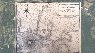
GeoNode is a web-based application for uploading and sharing geospatial files like data files with latittude and longitude coordinates and georectified historical maps. GeoNode allows one to browse and search for geospatial data; upload, manage, and share geospatial data; create and share interactive maps; and collaborate and interact with other users.
Find help using tool at Duke: Yes
Stage(s) in research process to use tool: publication