Mapping/GIS

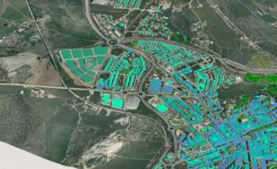
Concept: Applying geospatial information system tools and techniques to common objects of study in the Humanities. Work in this area spans a wide spectrum, from giving audiences a different view of history by overlaying historical and modern maps or showing change in a place over time or how ideas spread by mapping social media or other written texts.
Some of the places where GIS/mapping scholarship is happening at Duke include: Data and Visualization Services, the Visualization Friday Forum, and the Digital Art History & Visual Culture Research Lab.