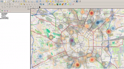
Qgis is desktop software for performing geospatial analysis. The application can be used to explore such things as the distribution of information on a map and overlaying historical maps on modern maps.
Find help using tool at Duke: Yes
Duke Libraries LibGuide
Qgis Tutorials Page
Stage(s) in research process to use tool: analysis